
DailyPost 2287
NATIONAL GEOSPATIAL POLICY 2022
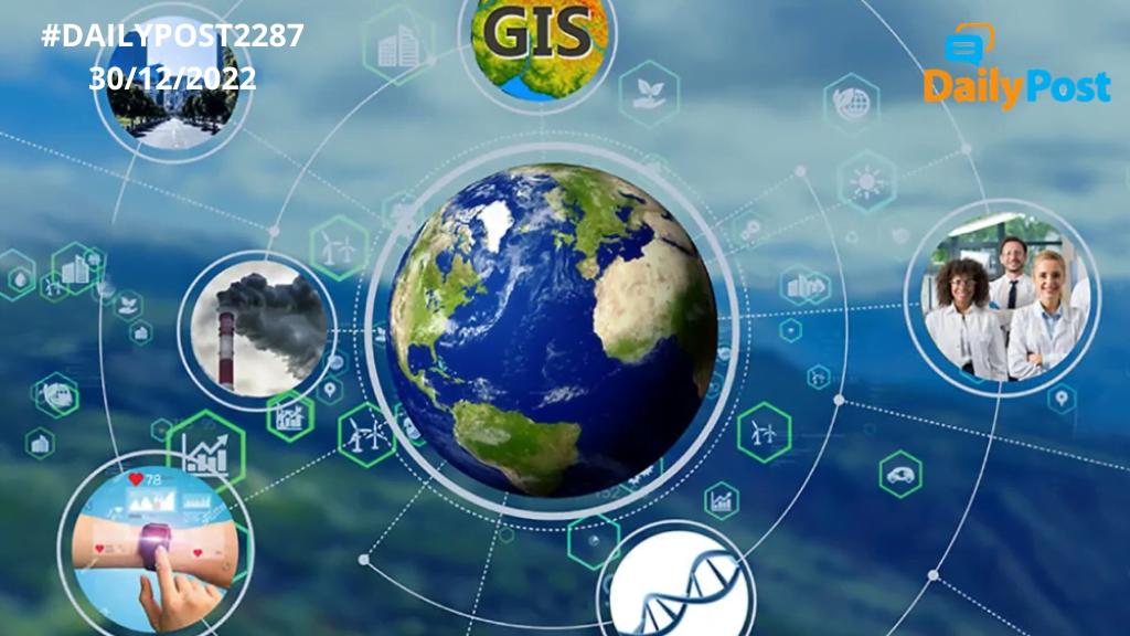
What is geospatial technology? The map of yesterday is the imagery of today, in wide and varied ways, taking our life to a different level. People have their own understanding and perception of this technology and also the vastly increasing use cases. The emerging new field of geospatial technology includes Geographical Information System, GIS, Remote Sensing, RS, and Global Positioning System, GIS. ”Geospatial technology enables us to acquire data which is referenced to the earth and used for analysis, modelling, simulations and visualisations.” Spatial data has reached new heights with our enhanced capability to acquire, process and use it to our advantage.
The 3D imagery of Google Maps gives us a different view of even our closed surroundings, which we would have been seeing since ages. From satellite imagery to hyperspectral cameras to drone based imagery and analysis, a whole new world has opened in front of our own eyes in the last decade or so. Remember the topographic sheets of yesteryears and then you can make out how much ground we have covered. Where does India stand in this fast-moving technology, we will leave for some other day, what is important is that the government of India seems to have seized the opportunity and wants to provide an ecosystem for healthy and productive use and growth of this technology.
The notification of National Geospatial Policy 2022 aims at strengthening the geospatial sector to support national development, economic prosperity and a thriving information economy. Democratization of data is of utmost importance as it fuels millions of dreams and helps develop products, conveniences and services which have so far remained generally outside our reach. India’s geospatial economy is expected to cross Rs.63,000 crores by 2025 at a growth rate of 12.8%. It is likely to provide employment to more than 10 lakh people, mainly through geospatial technology startups.
The policy will work towards enabling infrastructure for the sector. It also aims to bring out a high-resolution topographical map covering every inch of the country by 2030. It also aims at fashioning digital twins of India’s major cities and towns by 2035. What is a digital twin? It is a virtual replica of a physical asset, process or service which would facilitate ”better decision making for all kinds of facilities and services in urban areas.” It would also help policy makers to understand how infrastructure would function in different scenarios. The much-awaited churning in the Indian geospatial technology world has started.
FROM POLICY TO ACTION TO PRODUCTS AND SERVICES, INDIAN GEOSPATIAL TECHNOLOGY ECOSYSTEM AWAITS THAT TRANSITION.
Sanjay Sahay