
DailyPost 1946
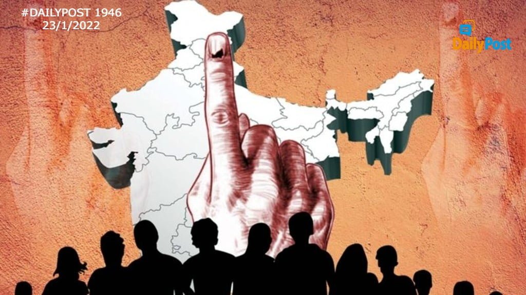
THE POLITICAL MAP
As students for many years in school and being the citizens of this country, we all know what a political map is. We understand the physical one too, of those natural features and a whole load of information which comes out of it today. The political map is visualized by one and all as the legal territory of the country divided into states, districts and beyond to sub-divisions, taluks, panchayats and the village. This is the basis for governance and the way administration is tied up and delivers on a day to day basis, keeping this great country up and running. Parallel to it is the legally mandated democratic territorial jurisdictions / constituencies for Lok Sabha and Vidhana Sabha’s and further on for the local self-governments of urban agglomerations and then the whole world of Panchayati Raj institutions, which brought to life the third tier of Indian democracy.
The political map and democratic constituencies together make the democratic mosaic of the country in geographical terms. It was meant to run in full consonance as per democratic mandate of powers, roles and responsibilities between the bureaucracy, political executives and the general elected representatives. The elections for the Panchayati raj institutions are party-less. With democratic politicization complete, we can well imagine how non-political it can be. Whosoever is elected treats himself above the executive and feels that it is his/her birth right to dictate over them. The constituencies have become the new currency of administration rather than the political map / administrative units discussed, which was established for this purpose. The elected representatives ride roughshod to get any executive personnel in his constituency. The geographical area in his constituency is his.
The political class and the political parties look at the political map ( territorial / administrative) differently. The numbers of the constituencies add for them and not the districts and sub-divisions. There are no backward or forward districts, developed or underdeveloped ones, all constituencies carry equal marks. No electoral decision thus is taken on account of an administrative unit or its state of development. Economic and human development parameters are never discussed in any elections, nobody even knows of it. Anybody elected is fine, all are equal deliverables or equal non-deliverables. Leave aside mapping of the admin units with the constituencies, the mapping of the elected representatives on his / her political parties’ proclaimed deliverables does not happen. What a tragedy! India has become a land of clarion calls, make believe, hearsay and self-proclaimed narratives.
What is finally disgusting to the core, is the fact that the political class looks, dissects and operates this country quite contrary to being completely agnostic to caste, creed, race, religion, colour, economic strength etc; the mandated constitutional status. Leave aside the fact that all electoral calculations are based on it, all decisions are politico-administrative. There are no elections without such words, as referred to, being uttered endlessly. That is the running currency of the electoral language. The political class works on what is termed the election arithmetic, an euphemism for caste and religion interplay for garnering political victory. Looking for and creating the winning combination is the final goal. In the process, creating fault lines, and tectonic caste / religion movements, duplicity, backstabbing, sale and purchase are treated as normal and well-established tools. The political map of India has long been lost, we live in an age of political virtual reality.
THE ELECTION ARITHMETIC IS THE DE FACTO RULE, NOT THE DE JURE POLITICAL MAP.
Sanjay Sahay